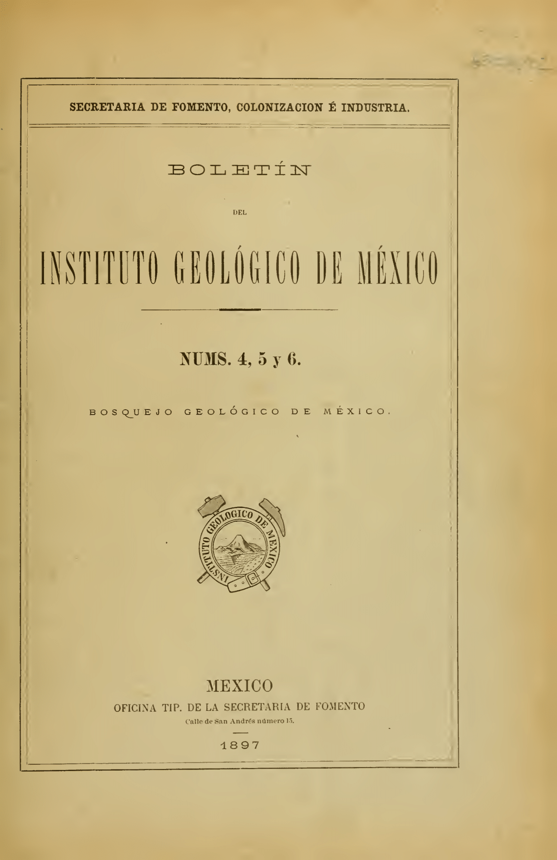
Geological outline of Mexico: Geological itineraries. Part 1
DOI:
https://doi.org/10.22201/10.22201/igl.01855530e.1896.4.26Keywords:
Geological map, Geological itineraries, Instituto Nacional Geológico, Mineral depositsAbstract
This issue actually constitutes the second edition of the Sketch of a Geological Map of the Mexican Republic, at a scale of 1:3,000,000; it consists of the explanatory text and the corrected version of the map. The first version of this map (reproduced in De Cserna, 1990, Plate 1), which was published in 1889—a year after the Geological Commission began operating—was created somewhat hastily, as it needed to be presented at the Paris World’s Fair held that year, by Antonio del Castillo. In the December 25, 1888 edition of the Diario Oficial, Article 2 stated: “The duties of the National Geological Institute are: I. - To create and publish the geological and mining maps of the Mexican Republic along with their corresponding reports” (Ordóñez, 1946). For this reason, Del Castillo intended to write an explanation of that map, but he died in 1895 before he could do so. Nevertheless, the map was revised between 1891 and 1893 and published at a scale of 1:10,000,000. José G. Aguilera, who succeeded Del Castillo as head of the Institute, undertook the revision of the original map and the preparation of its accompanying text, which was divided into three parts and preceded by a biographical summary of Antonio del Castillo and a prologue outlining the background of the Institute’s creation and the sources of information used for both the original sketch and the revised edition.
This first part (which comprises Volume 4) contains the description of the geological itineraries that were used for the first sketch, as well as those employed in the new edition. These itineraries were carried out by R.F. Buelna (“States of Durango, Chihuahua, Sonora, and Sinaloa,” pp. 19–29, plus two cross sections: “Geological section from San Andrés via Tijera and Siánori to Copalquín, state of Durango”; and “Geological section from Guanaceví to Rancho Blanco, state of Durango”), Ordóñez (“Geological Itineraries,” pp. 30–77, with a plate containing three cross sections: Manzanillo-Zapotlán [present-day Ciudad Guzmán], Nochistlán-San Blas, and Autlán-Guadalajara), and Aguilera (“Geological Itineraries of José G. Aguilera,” pp. 78–165, plus a “Geological section from Agiabampo to Chihuahua, with the projection of the main mineral deposits of the Sierra Madre,” by Baltazar Muñoz-Lumbier), respectively. These itineraries describe physiographic, geological, and mineral deposit features—when the latter were visited. Two of Ordóñez’s itineraries appear under the authorship of both Aguilera and Ordóñez: “Guadalajara-Autlán” and “Guadalajara-Manzanillo”; from the latter, a drawing by Ordóñez is reproduced, showcasing his artistic talent.
__________________________________________
Abstract from:
Gómez-Caballero, J. A. (2005). Historia e índice comentado del Boletín del Instituto de Geología de la UNAM. Boletín de la Sociedad Geológica Mexicana: Volumen Conmemorativo del Centenario Aspectos históricos de la Geología Mexicana, 57I(2), 149-85. http://dx.doi.org/10.18268/BSGM2005v57n2a3
References
• Bárcena, M. (1875). Colección de fenómenos geológicos de Jalisco. Guadalajara.
• Hills, R. C. (s.f.). Tipes of parts eruptives in the Rocky Mountain. Proceedings of the Colorado Scientific Society.
• Le Conté, J. (1893). Origen of Mountain Ranges. Journal of Geology.
• Yddings, J.P. (1893). The volcanic rocks of the Andes. Journal Of Geology
Downloads
Published
Issue
Section
License
Copyright (c) 2025 Boletín del Instituto de Geología

This work is licensed under a Creative Commons Attribution-NonCommercial-NoDerivatives 4.0 International License.